Photos of the prototype that inspired scenes on the Tam Valley RR
Can you see the sleeping maiden?
Mount Tamalpais Legend has it that the word Tamalpais, pronounced Tam-al-Pi-us, at least that
is how modern day people pronounce it, is Miwok Indian
for "sleeping maiden". The etymology is disputed in this Wikipedia article, but it was the legend I grew up with. If you look at the mountain you can see
the form of a woman lying on her back (the head is to the right and feet to the left. The mountain is 2600 feet
high and is located just north of the Golden Gate bridge and San
Francisco. The picture is taken from the ridge above Sausalito. It used to have a fascinating railroad going up it, The Mount
Tamalpais and Muir Woods Scenic Railway (aka "The Crookedest Railway in the
World"), which ran geared locomotives and 2 car trains up the mountain for
many years from 1896 to 1930. The abandoned grade is still there - a popular hiking and biking trail. For my 50th birthday my wife Janice and I walked the entire railroad grade from Mill Valley to East peak. However, I never had much interest in modeling
it as it only had about 5 switches on the entire route! The line
interchanged with the narrow gauge North Pacific Coast Railroad which ran from
Sausalito northwards to the Redwood logging area. The North Shore Railroad
bought the line and made the southern portion electrified standard gauge. Evntually Southern Pacific held the line briefly until the track to Sausalito was
abandoned when traffic was reduced to about a train a week.
Now its a bikepath. I decide to model a fictitious new starting point
for my version of the SP starting in Sausalito - the actual starting point was
in Oakland across the San Francisco Bay, but that spot is not nearly as scenic
as Sausalito!
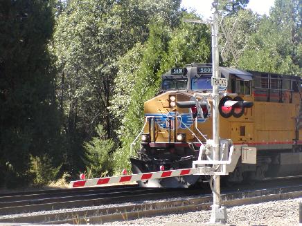
Pentrex video feeds of the SP, Cab-forwards, daylights and Donner Pass courtesy of Pentrex Video
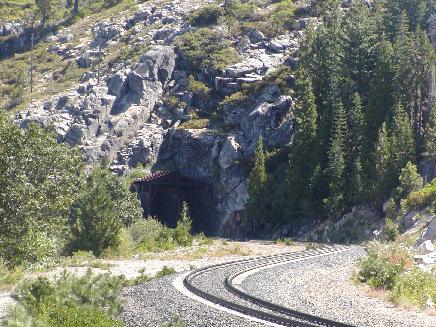
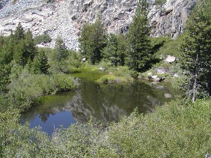
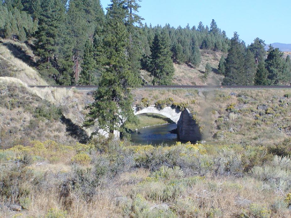
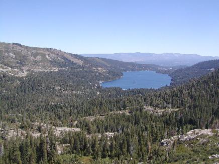
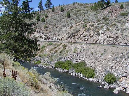
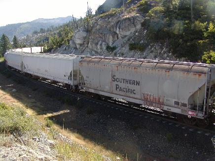
Pictures I took on a trip to Donner Pass in 2006.
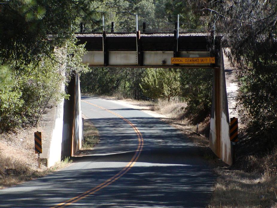
Highway overpass near Cape Horn - inspiration for my overpass at Cold Creek.
Yuba Pass scene
A pond near Donner summit
Concrete arch bridge over the Little Truckee river